
Laurens County, October 25, 2025 News Summary Laurens County has reported multiple arrests involving a variety of charges, including drug possession, theft, and driving-related offenses. Among those arrested are individuals charged...

South Carolina, October 25, 2025 News Summary South Carolina high school football teams delivered strong performances in Week 10, showcasing intense matchups and impressive victories. Key games featured Abbeville’s dominating 55-7...

Columbia, October 23, 2025 News Summary South Carolina lawmakers have officially launched the state’s first bipartisan HBCU Caucus, aimed at supporting the eight Historically Black Colleges and Universities within the state....

Columbia, SC, October 22, 2025 News Summary The S.C. Prep Football Media Poll has unveiled the latest rankings for South Carolina high school football, with Irmo leading the Class 5A standings...
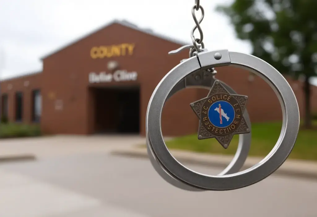
Laurens County, October 20, 2025 News Summary Authorities in Laurens County reported multiple arrests revealing a variety of criminal charges. Cases include violations of probation, identity fraud, and assault. Notable arrests...
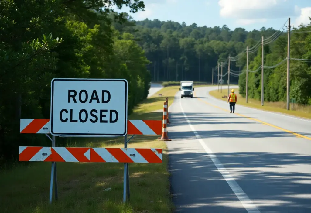
Spartanburg County, October 20, 2025 News Summary Cooper Bridge Road in Spartanburg County will undergo repairs, leading to closures starting October 20. The South Carolina Department of Transportation urges drivers to...

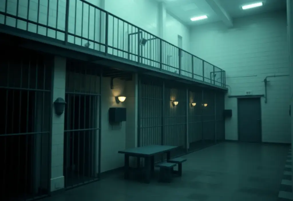
Clinton SC, October 20, 2025 News Summary The Clinton Police Department executed a search warrant resulting in the arrest of four individuals involved in drug distribution. Over 200 grams of methamphetamine...
Laurens County, October 19, 2025 News Summary Laurens County faces a rainy morning with a 70% chance of thunderstorms, reaching 71°F in the afternoon. Alongside the weather, local law enforcement has...
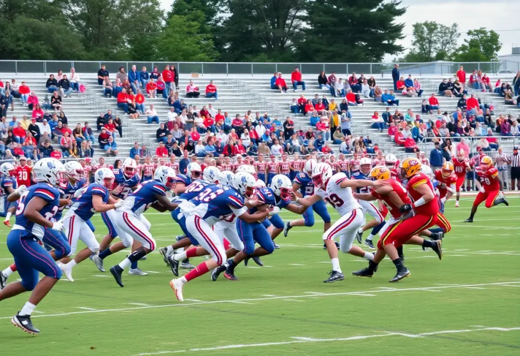
South Carolina, October 19, 2025 News Summary The South Carolina high school football season showcased exciting matches on October 17, 2025, with standout performances from various teams. Abbeville triumphed over Whitmire...

Clinton SC, October 17, 2025 News Summary The City of Clinton has dedicated nearly $78,000 from accommodations tax (ATAX) funds to support local tourism initiatives. This funding will benefit several organizations...

Laurens, October 16, 2025 News Summary Ira Bedenbaugh has been appointed to the Laurens Commission of Public Works board, filling the District 2, Seat 2 position following Parker Moore’s resignation. The...

Laurens County SC, October 16, 2025 News Summary The Laurens County Council has imposed a six-month moratorium on cluster development due to increasing concerns about population density and housing affordability. The...

Laurens County, October 15, 2025 News Summary Jerre Threatt has been appointed as the new County Administrator for Laurens County, effective November 3, 2025. The Laurens County Council approved his appointment...

Simpsonville SC, October 12, 2025 News Summary The Durbin Creek Volunteer Fire Department has received a grant of $38,669.41 from the Firehouse Subs Public Safety Foundation to acquire Hurst E-Draulic Extrication...

Laurens, South Carolina, October 11, 2025 News Summary Thomas Mechanical and Fire Protection, owned by Martin Lowry, has been recognized as the 8th Fastest Growing Company in South Carolina by Greenville...
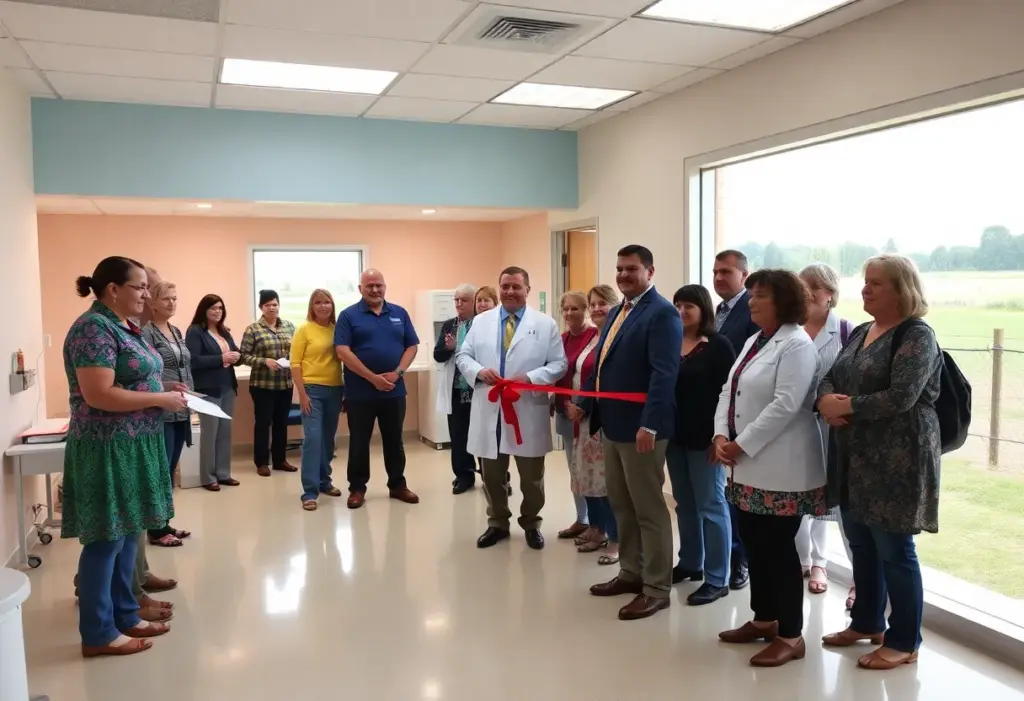
Clinton SC, September 26, 2025 News Summary Prisma Health has obtained a $1 million grant to enhance primary care access in Laurens County, South Carolina. This initiative includes significant renovations to...
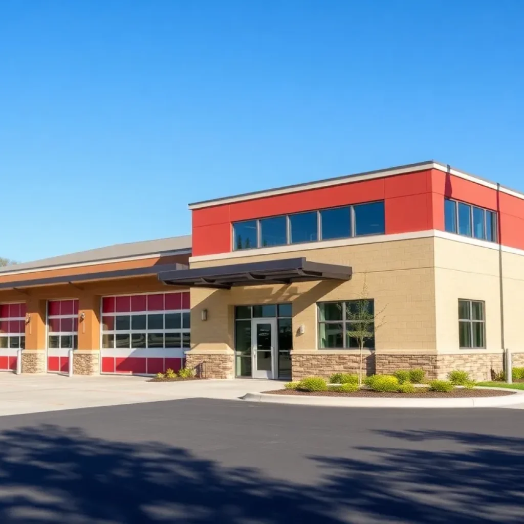
Clinton SC, September 15, 2025 News Summary The Clinton City Council has announced the nearing completion and dedication of the renovated Fuller Fire Station, which has undergone significant upgrades for better...

Clinton SC, September 4, 2025 News Summary Tapestry Inc., a women’s boutique in Clinton, SC, is closed indefinitely after a break-in caused substantial damages. The suspect, Erick Garcia Cardoso, was arrested...
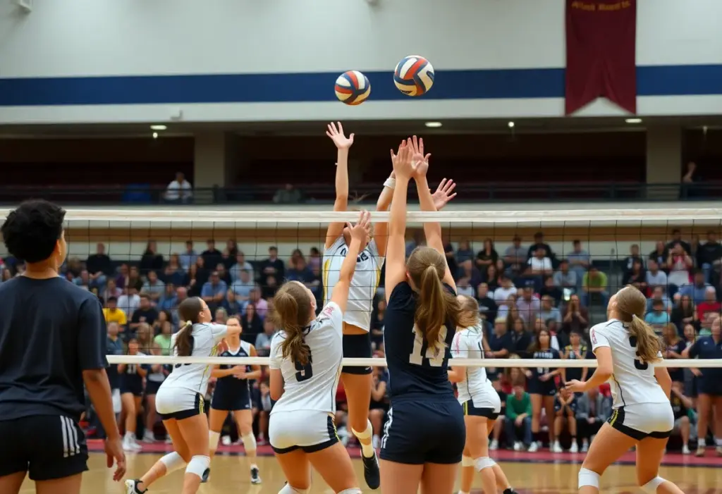
Columbia, South Carolina, October 22, 2025 News Summary The South Carolina High School League volleyball playoffs for both boys and girls teams commence this week, with exciting matches scheduled across various...

Blacksburg High School, October 22, 2025 News Summary The Clinton Red Devils are gearing up to challenge the Blacksburg Wildcats in a crucial high school football matchup at Blacksburg High School....
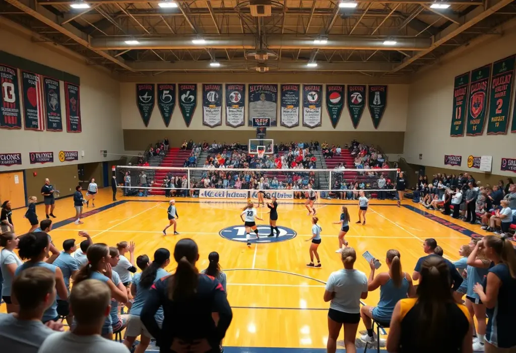
Columbia, South Carolina, October 22, 2025 News Summary The South Carolina High School League’s girls volleyball playoffs are set to start with various matchups across the state. The first round features...

Laurens County, SC, October 21, 2025 News Summary The Laurens County Museum is preparing for its Festival of Trees, showcasing 40 themed Christmas trees decorated by local organizations from November to...

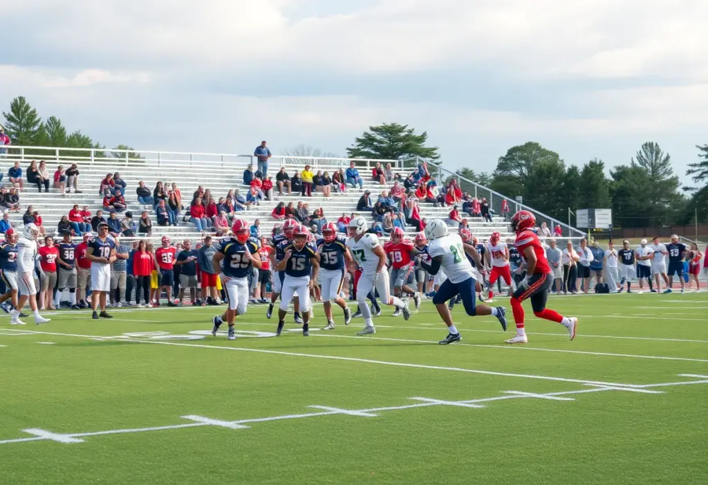
Clinton SC, October 21, 2025 News Summary Javen Cook, a senior running back from Clinton High School, has been honored as Player of the Week by the Laurens County Touchdown Club...

Clinton SC, October 21, 2025 News Summary The community of Clinton, SC, is in anguish following the suspicious deaths of two young athletes, Zarius “Zay” Hurley and Kaden Moses. Their families...

Laurens County, October 20, 2025 News Summary Laurens County is hosting a variety of Halloween-themed events throughout October. Key activities include the LushAcres Farms Fall Festival, Haunted Woods, and multiple Trunk...

Macon, Georgia, October 17, 2025 News Summary High school football matchups are set for Friday night in Central Georgia, featuring key games such as Clinton versus Landrum and Wren against Laurens....

Clinton, October 16, 2025 News Summary The Bundles of Joy Community Baby Shower, organized by the Upstate Pregnancy Center in partnership with First Choice by Select Health, will take place on...
Laurens County, October 25, 2025 News Summary Laurens County has reported multiple arrests involving a variety of charges, including drug possession, theft, and driving-related offenses. Among those arrested are individuals charged...
Laurens County, October 20, 2025 News Summary Authorities in Laurens County reported multiple arrests revealing a variety of criminal charges. Cases include violations of probation, identity fraud, and assault. Notable arrests...
Clinton SC, October 20, 2025 News Summary The Clinton Police Department executed a search warrant resulting in the arrest of four individuals involved in drug distribution. Over 200 grams of methamphetamine...
Laurens County, October 19, 2025 News Summary Laurens County faces a rainy morning with a 70% chance of thunderstorms, reaching 71°F in the afternoon. Alongside the weather, local law enforcement has...
Columbia, SC, October 18, 2025 News Summary Stephen Bryant, convicted of a triple homicide in 2004, is set for execution on November 14, 2025. This marks him as the seventh execution...

Fountain Inn, SC, October 13, 2025 News Summary In Fountain Inn, two teenagers face serious charges related to a drive-by shooting, while two individuals have been charged following a road rage...

Clinton SC, October 6, 2025 News Summary A tragic shooting incident in Clinton, South Carolina, has resulted in one death and one hospitalization. The incident occurred on Coleman Road, and local...

Laurens County, October 6, 2025 News Summary In Laurens County, various individuals have been arrested for offenses ranging from animal abandonment to domestic violence. The incidents underscore significant social issues affecting...

Grafton, October 6, 2025 News Summary In Grafton, West Virginia, multiple arrests have been made in connection with a shocking kidnapping case involving a 5-year-old girl. Clinton Beavers faces serious charges...
Columbia, October 23, 2025 News Summary South Carolina lawmakers have officially launched the state’s first bipartisan HBCU Caucus, aimed at supporting the eight Historically Black Colleges and Universities within the state....
Spartanburg County, October 20, 2025 News Summary Cooper Bridge Road in Spartanburg County will undergo repairs, leading to closures starting October 20. The South Carolina Department of Transportation urges drivers to...
Columbia, SC, October 18, 2025 News Summary Stephen Bryant, convicted of a triple homicide in 2004, is set for execution on November 14, 2025. This marks him as the seventh execution...

Laurens County, SC, October 8, 2025 News Summary Residents of Laurens County are raising alarms about safety on Whelon Road following an incident where a vehicle sank in a private pond....

Laurens, SC, October 5, 2025 News Summary Allen Michael “Mike” Mathis, 34, passed away at his home in Laurens, South Carolina. He is survived by his fiancé Rebecca, their son Ace,...

Marblehead, OH, October 4, 2025 News Summary Lorellen Marie ‘Lori’ Ticich, an esteemed Emergency Room Nurse, passed away peacefully at the age of 81. Surrounded by her loving daughters, Lori’s life...

Loris, South Carolina, October 4, 2025 News Summary James Dan Bellamy Sr., a respected former Deputy Coroner and community member in Loris, South Carolina, passed away at the age of 80....

Clinton, SC, October 2, 2025 News Summary Residents in Clinton, SC, and Southern Prince George’s County, MD, are currently under boil water advisories due to water system upgrades and a significant...
Laurens, South Carolina, September 17, 2025 News Summary David Stumbo has declared his candidacy for Attorney General of South Carolina, positioning himself on a strong tough-on-crime platform. The announcement took place...
Columbia, South Carolina, October 22, 2025 News Summary The South Carolina High School League volleyball playoffs for both boys and girls teams commence this week, with exciting matches scheduled across various...
Blacksburg High School, October 22, 2025 News Summary The Clinton Red Devils are gearing up to challenge the Blacksburg Wildcats in a crucial high school football matchup at Blacksburg High School....
Columbia, South Carolina, October 22, 2025 News Summary The South Carolina High School League’s girls volleyball playoffs are set to start with various matchups across the state. The first round features...
Clinton SC, October 21, 2025 News Summary Javen Cook, a senior running back from Clinton High School, has been honored as Player of the Week by the Laurens County Touchdown Club...
Macon, Georgia, October 17, 2025 News Summary High school football matchups are set for Friday night in Central Georgia, featuring key games such as Clinton versus Landrum and Wren against Laurens....
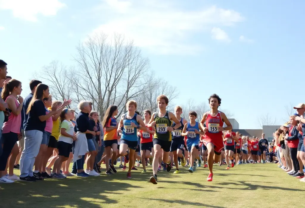
Clinton, October 16, 2025 News Summary The Laurens County Cross Country Championships took place at Clinton High School, where Clinton dominated the girls’ and boys’ team races. Clinton’s girls secured victory...
Columbia, South Carolina, October 15, 2025 News Summary The S.C. Prep Football Media Poll has updated its rankings for high school football in South Carolina ahead of Week 8. Teams in...
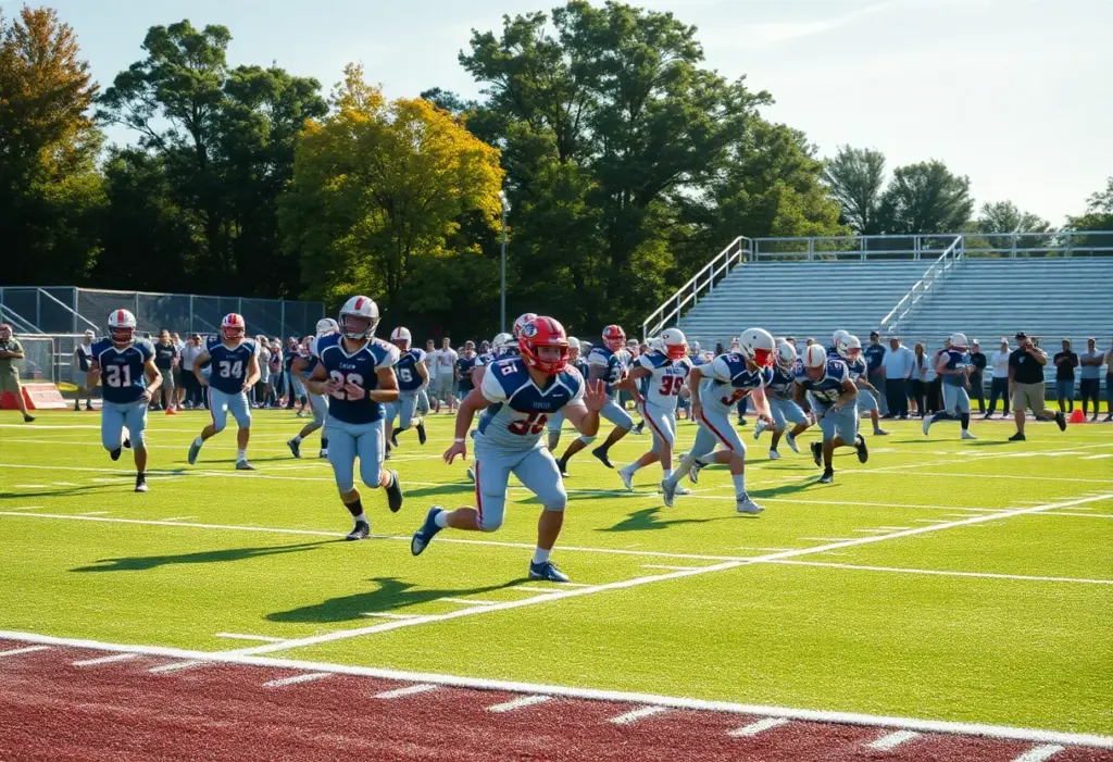
Clinton SC, October 15, 2025 News Summary The Clinton Red Devils achieved a dominating victory over the Chesnee Eagles with a score of 50-29. Javen Cook led the team with 182...

Clinton SC, October 9, 2025 News Summary In a recent match, Clinton High School’s soccer team triumphed over East Duplin with a commanding 6-0 victory, marking their third consecutive win. The...